This entire website was either written by me or incorporates open source software that is getting very old by now. I finally bit the bullet and started rewriting a small part of it over two weekends in 2023
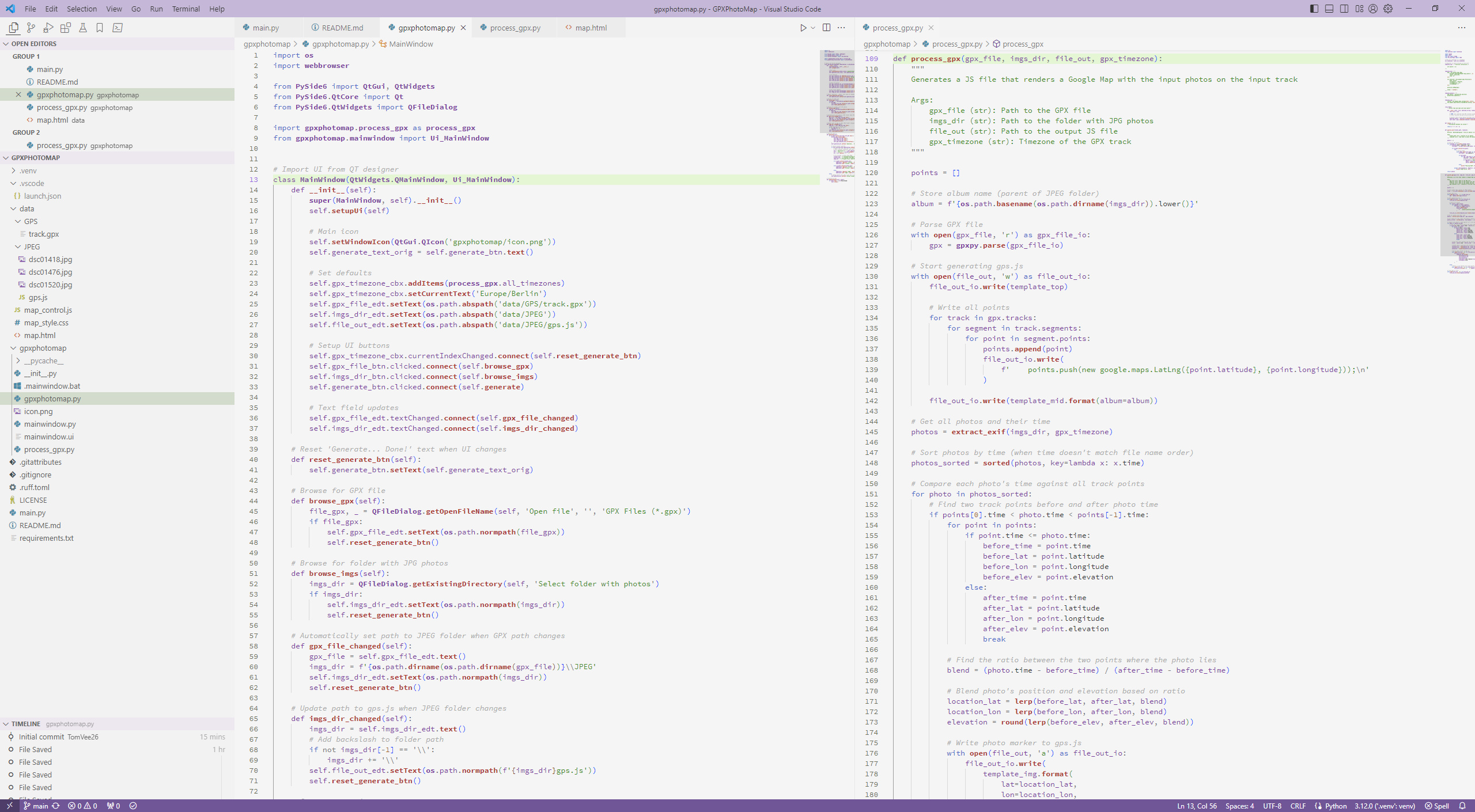
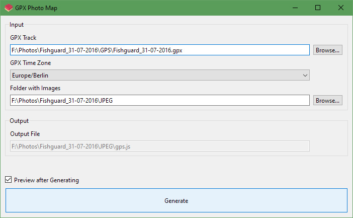
I've written a Python program to generate the JavaScript code that I use to display these interactive Google Maps, where you can see where exactly all the photos from my travels were taken
This program extracts time information from all the photos in a folder, then compares the times against a GPX track file from my GPS. The end result is that each photo can be placed exactly where it was taken
Big thanks go to Sergi Carrion who showed me the way around Python 🙂
Skip to next/previous image using j/k or ←/→ keys

